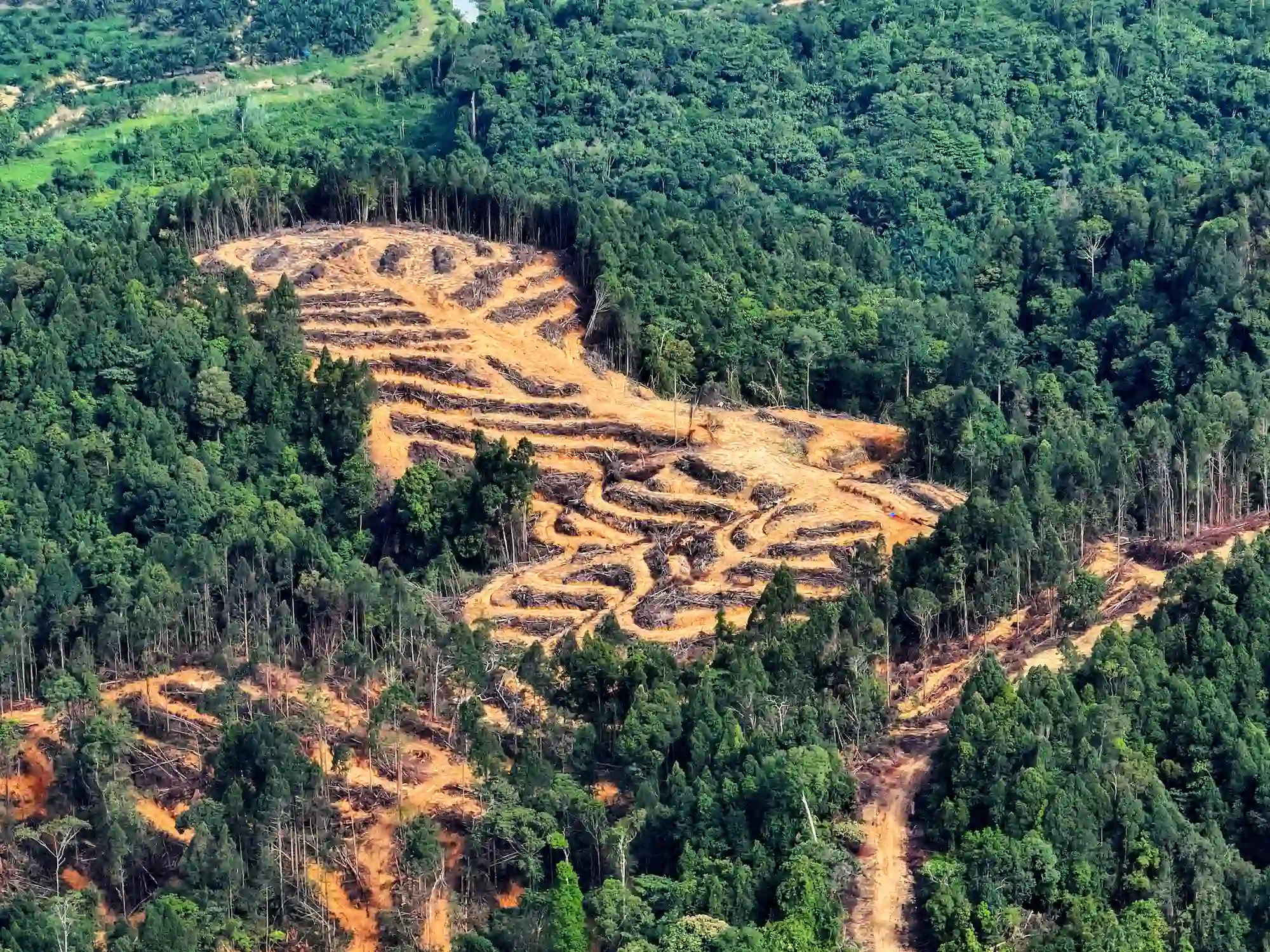
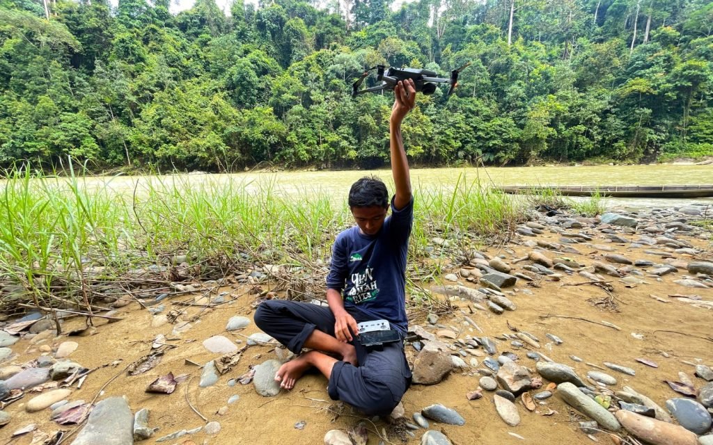
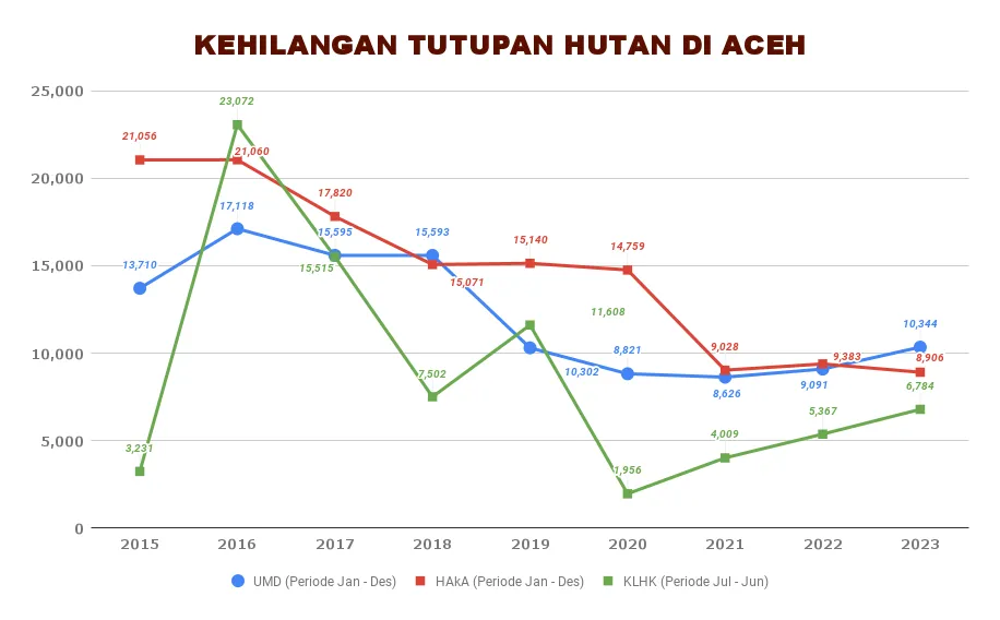
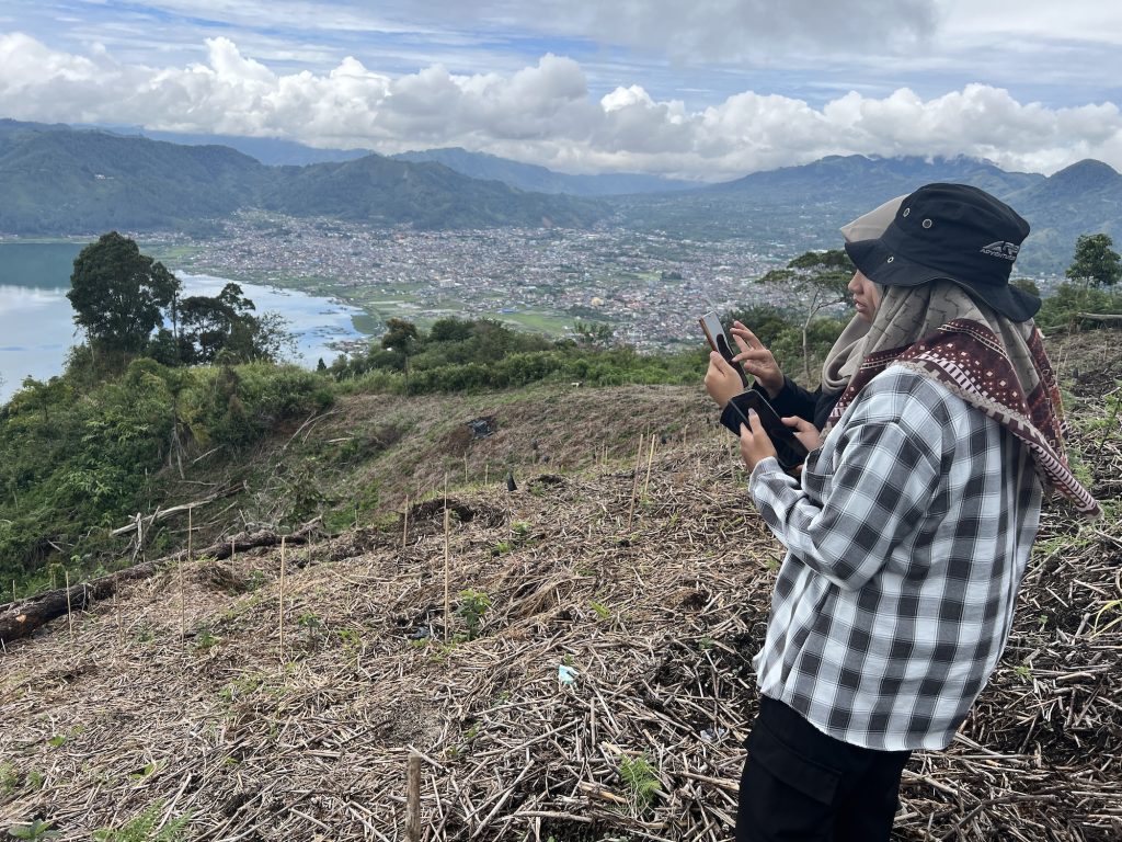
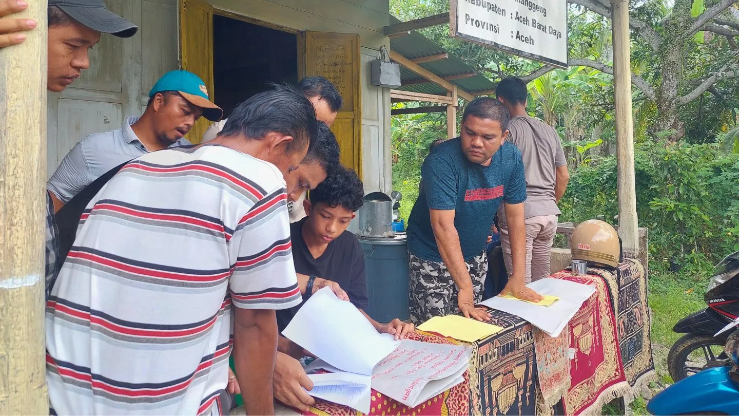
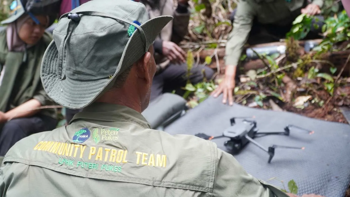
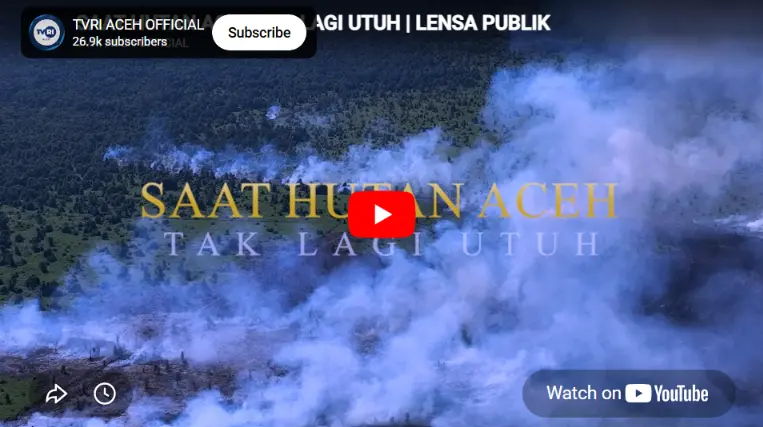
HAkA monitors forest loss in the Leuser Ecosystem Area and Aceh Province regularly through satellite image analysis tools and also conducts ground checking using drones and the GFW - Forest Watcher application.
Monitoring is a crucial component of HAkA’s conservation strategy. The organization systematically observes and tracks changes in forest cover and land use within the Leuser Ecosystem Area using advanced technologies, such as Planet satellite imagery and GFW (Global Forest Watch) Forest Watcher remote sensing. HAkA gains access to satellite imagery with resolutions of up to 3 meters and daily updates via NICFI’s Planet Level 2 imagery. This continuous monitoring enables HAkA to detect threats early, assess the effectiveness of conservation interventions, and adjust strategies as needed. The collected data undergoes rigorous analysis and is used to inform conservation actions, guiding decision-makers with accurate, up-to-date information on the ecosystem’s status. Through this science-based approach, HAkA ensures that its conservation efforts are evidence-based and adaptable to emerging challenges. Our data has been published on the peta.haka.or.id data portal.
GFW Training to Combat Deforestation and Strengthen Forest Monitoring
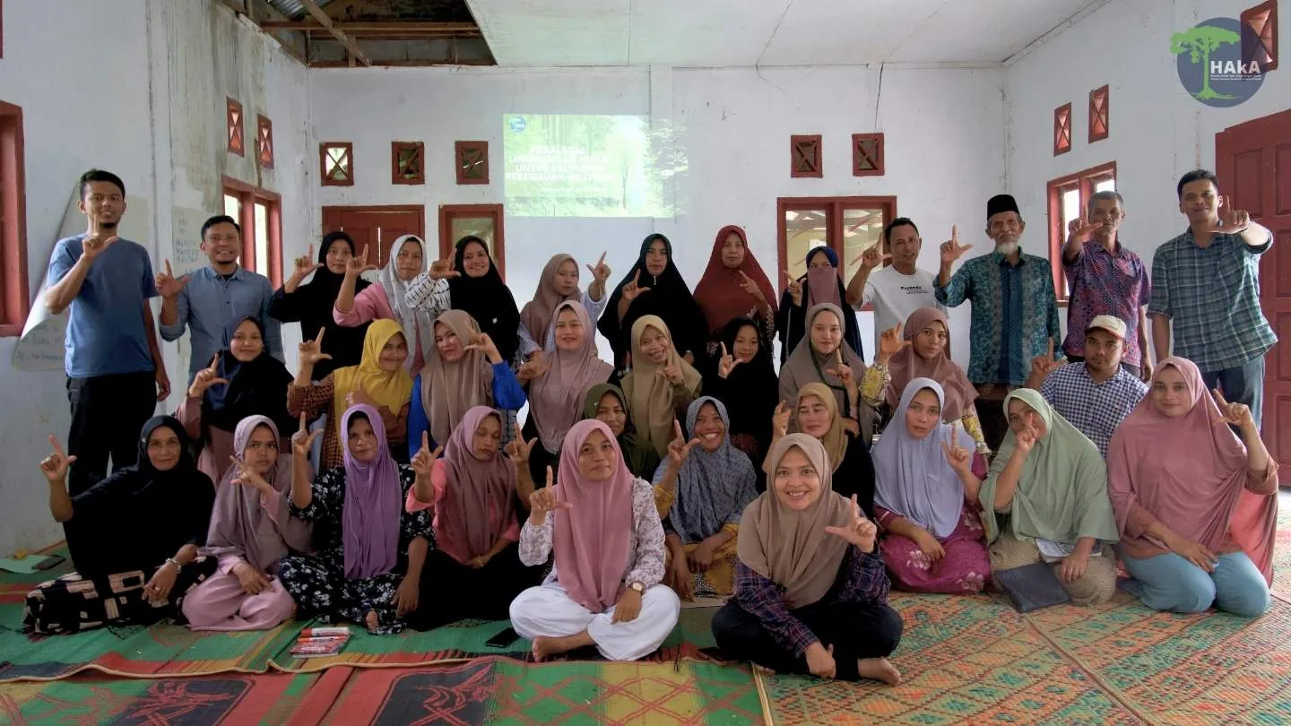
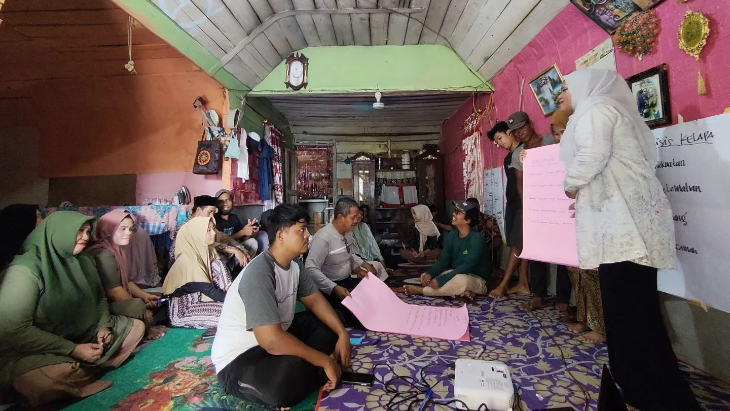
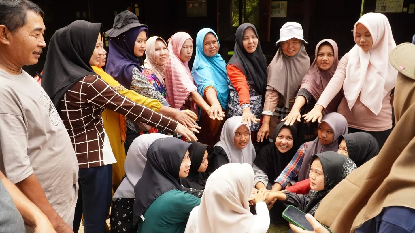
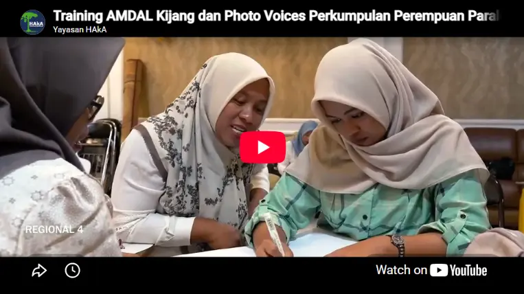
For 6 years, HAkA Foundation has received support from WRI to deploy Global Forest Watch (GFW) in Aceh. With a focus on empowering local stakeholders with GFW tools for effective forest monitoring and law enforcement, HAkA has organized 74 training activities and trained more than 1,600 participants from government, NGOs, students, police, journalists, and local communities, resulting in all forestry agencies in Aceh being familiar with GFW. Notably, HAkA maintained a commitment to gender inclusivity, with 232 women trained.
These training sessions were designed to strengthen monitoring capabilities in critical areas, focusing on providing essential training in Geographic Information Systems (GIS) and Forest Watch (FW) to forestry agencies, law enforcement personnel and community groups. In addition, drone operations were introduced to support field activities, particularly in ground-truthing and validation of deforestation efforts. The initiative aims to increase the capacity of local actors to effectively combat deforestation and illegal forestry activities.