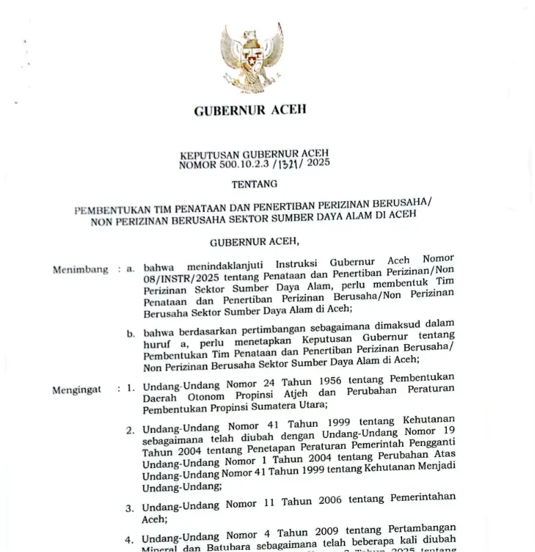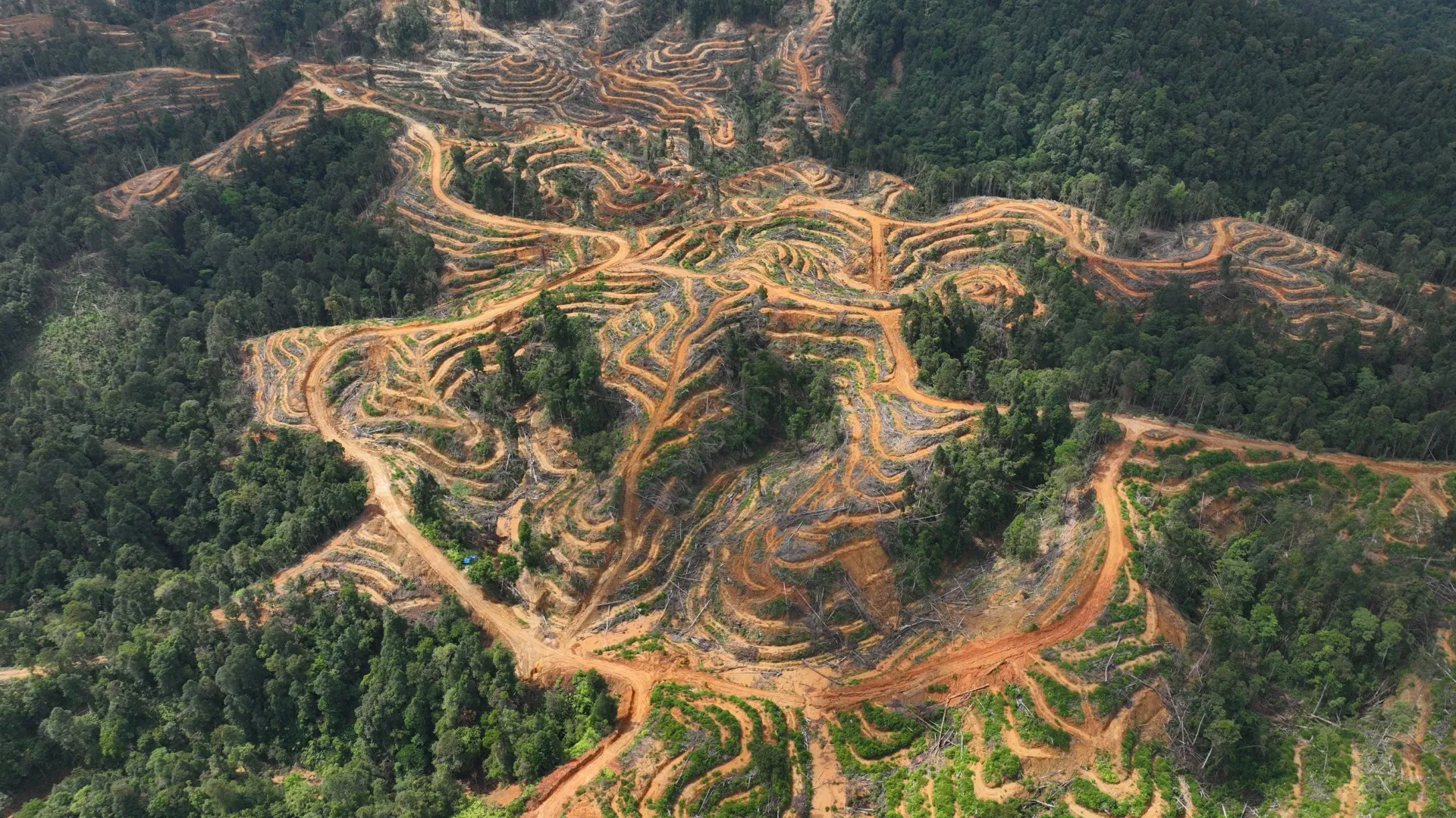


Monitoring of Subulussalam City Forest Loss

Drones Monitoring

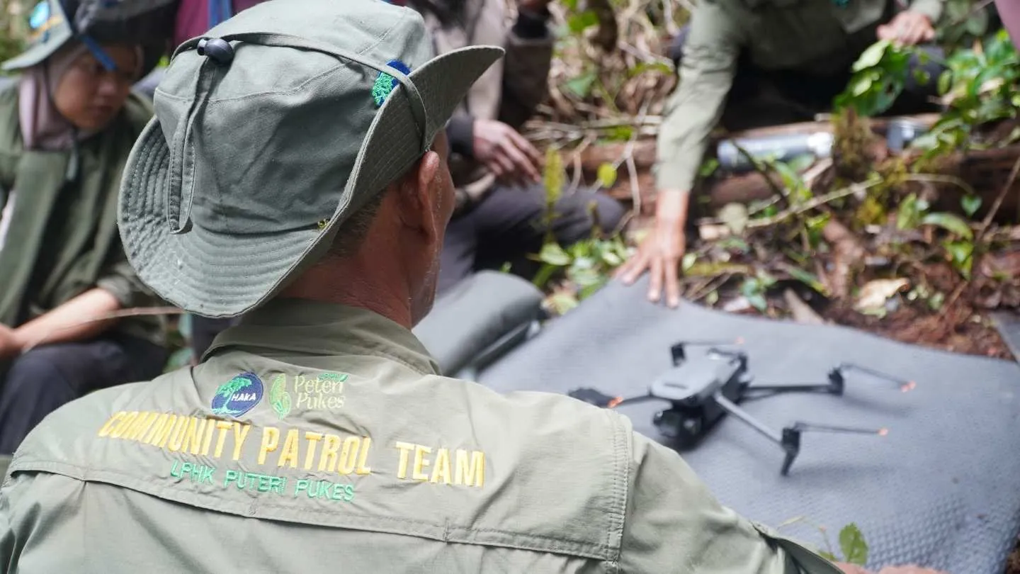
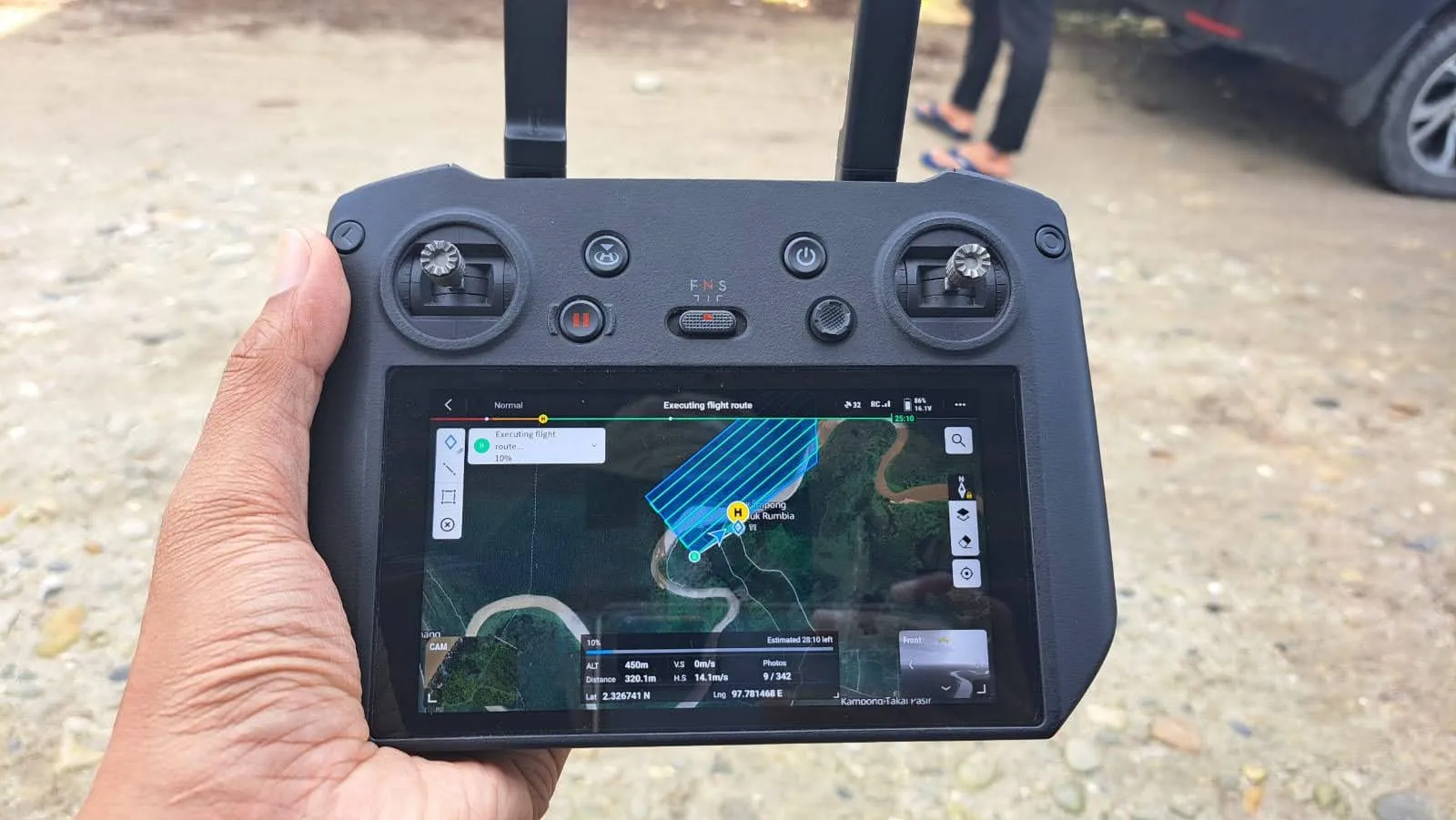
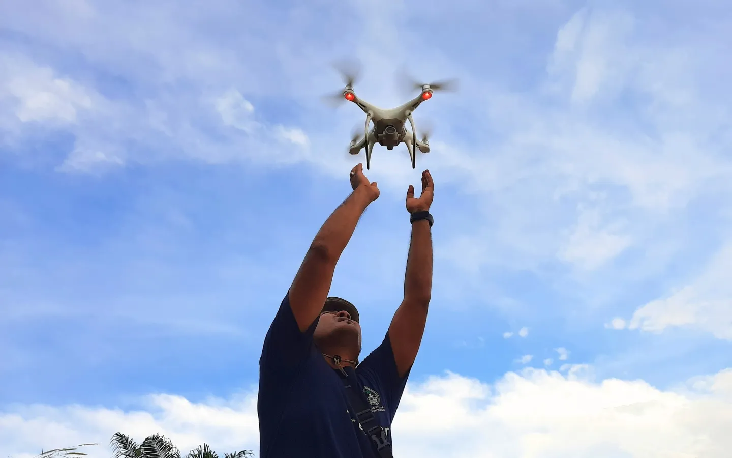
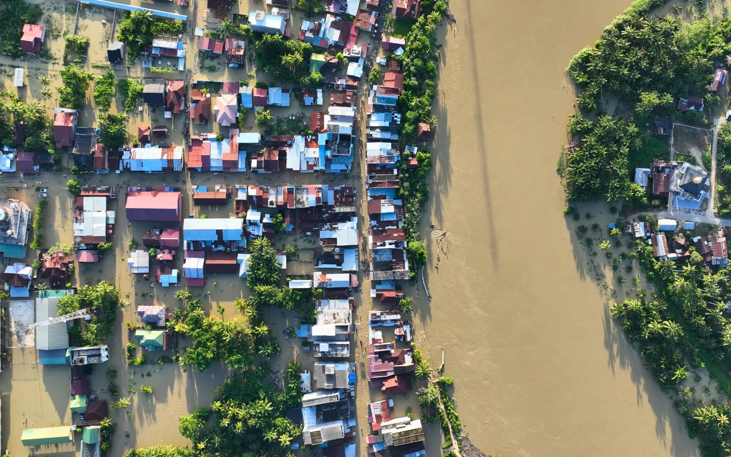
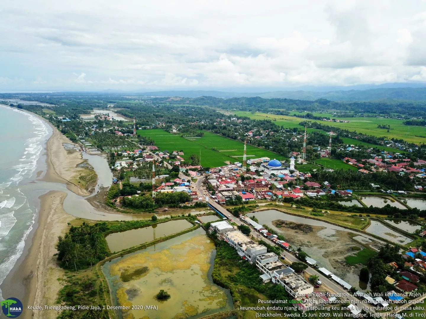
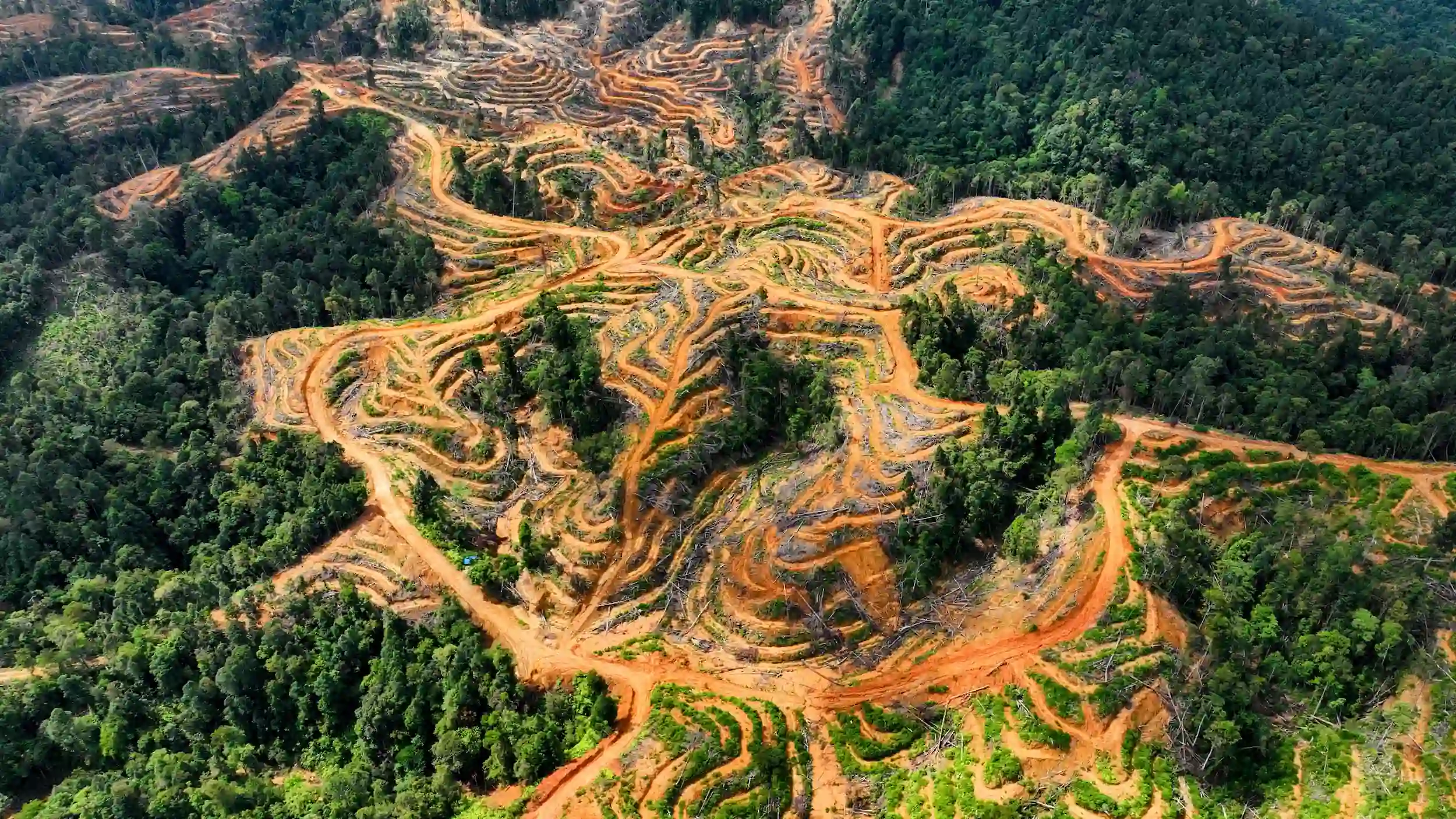
The HAkA Foundation routinely monitors Aceh's forests using satellite imagery and drones. Drones are invaluable in obtaining near-real-time images of the landscape and providing very high-resolution aerial photography.

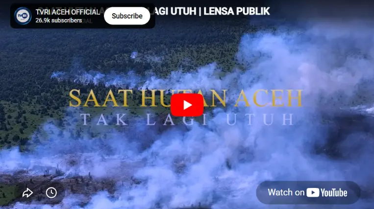
Transparency and accountability are paramount to HAkA’s operations. HAkA updates its interactive Google My Maps with the latest data, ensuring stakeholders remain informed about its progress. Furthermore, HAkA’s advocacy efforts extend to social media platforms, raising awareness of pressing issues surrounding deforestation in the Leuser Ecosystem.

image

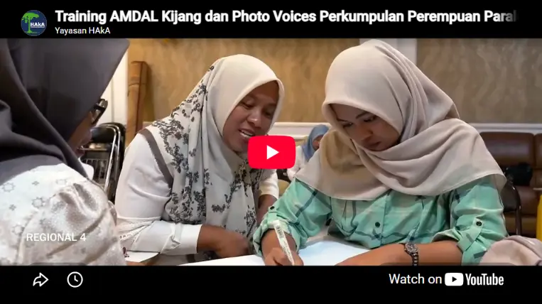
The project’s success was driven by a holistic approach. HAkA deployed drones for efficient field inspections, conducted comprehensive training sessions, and forged strong collaborations with local governments. These efforts culminated in tangible progress, reinforcing HAkA’s commitment to safeguarding the Leuser Ecosystem for future generations.

HAkA remains steadfast in its mission to preserve this invaluable natural treasure. Together, we will continue to harness the power of data, technology, and collaboration to protect the Leuser Ecosystem and ensure its biodiversity thrives for years to come.

image
image
image

Strategi dan Program Terkait
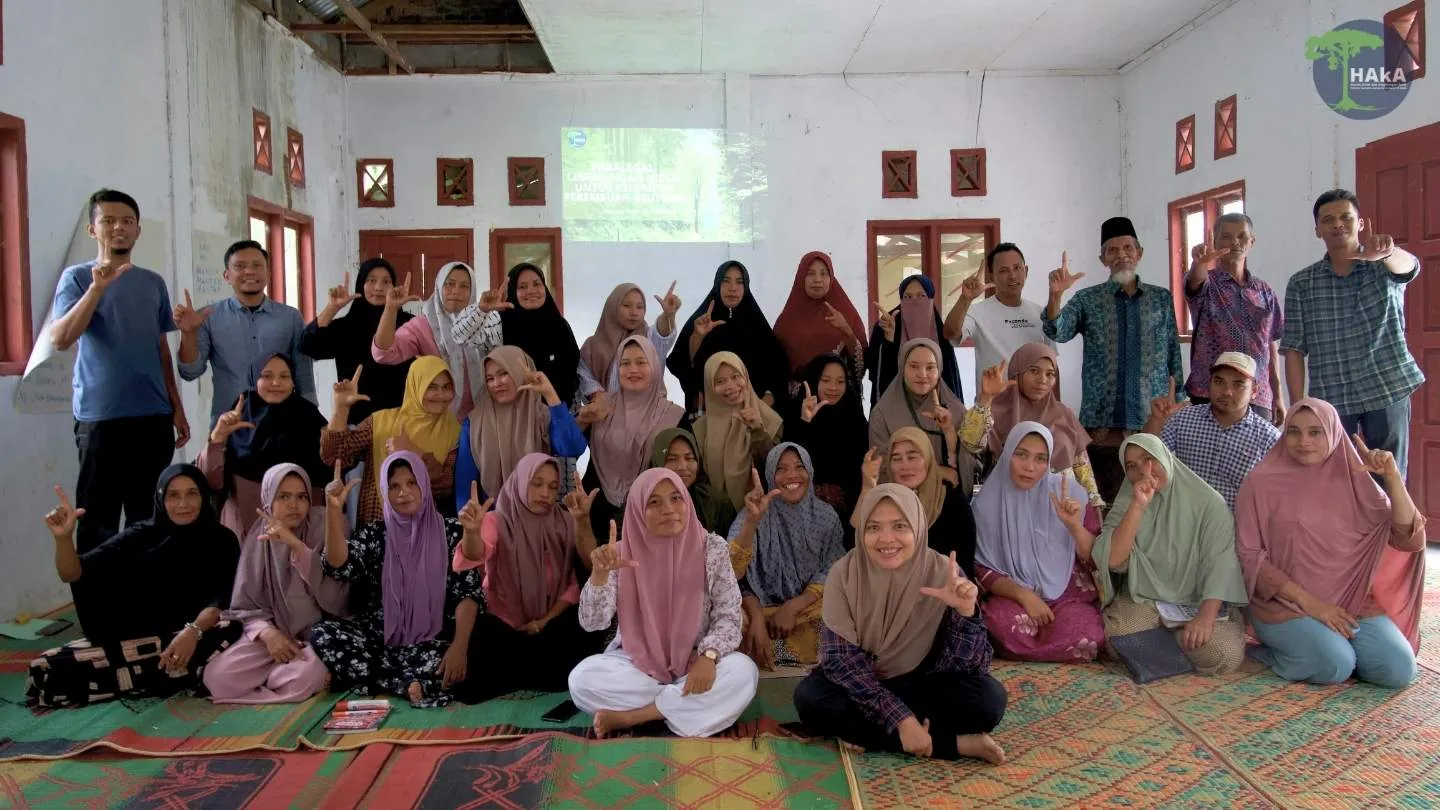
Strengthening Community Initiatives
Rumbia Women Fishermen Group
Lhok Batee Intan Village Forest Management Institution
Nenggeri Linge Village Forest Management Board
Peteri Pukes Village Forest Management Institution, Mendale
Bunin Village Forest Management Institution
Contribution

Institutional Contribution The HAkA Foundation believes that environmental preservation can only be achieved if the voices of the public and…