First-Half Forest and Land Fires Cover Area Three Times the Size of Singapore: MapBiomas Fire
A number of overlooked areas have actually experienced a significant surge in forest and land fires.
By: Kennial Laia
BETAHITA.ID – The total area affected by forest and land fires nationwide during the first six months of 2026 reached more than 170,000 hectares, an area equivalent to three times the size of Singapore.
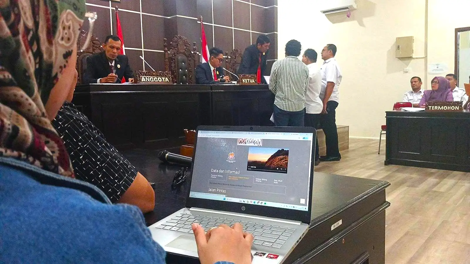
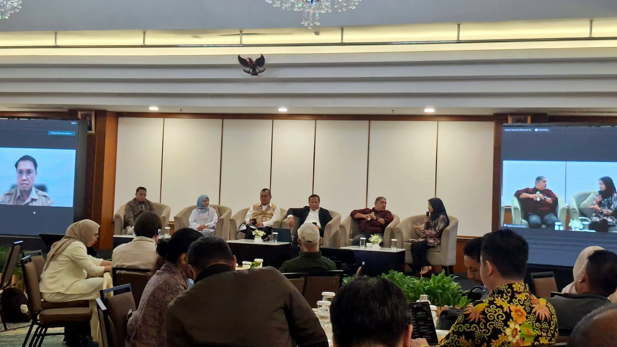
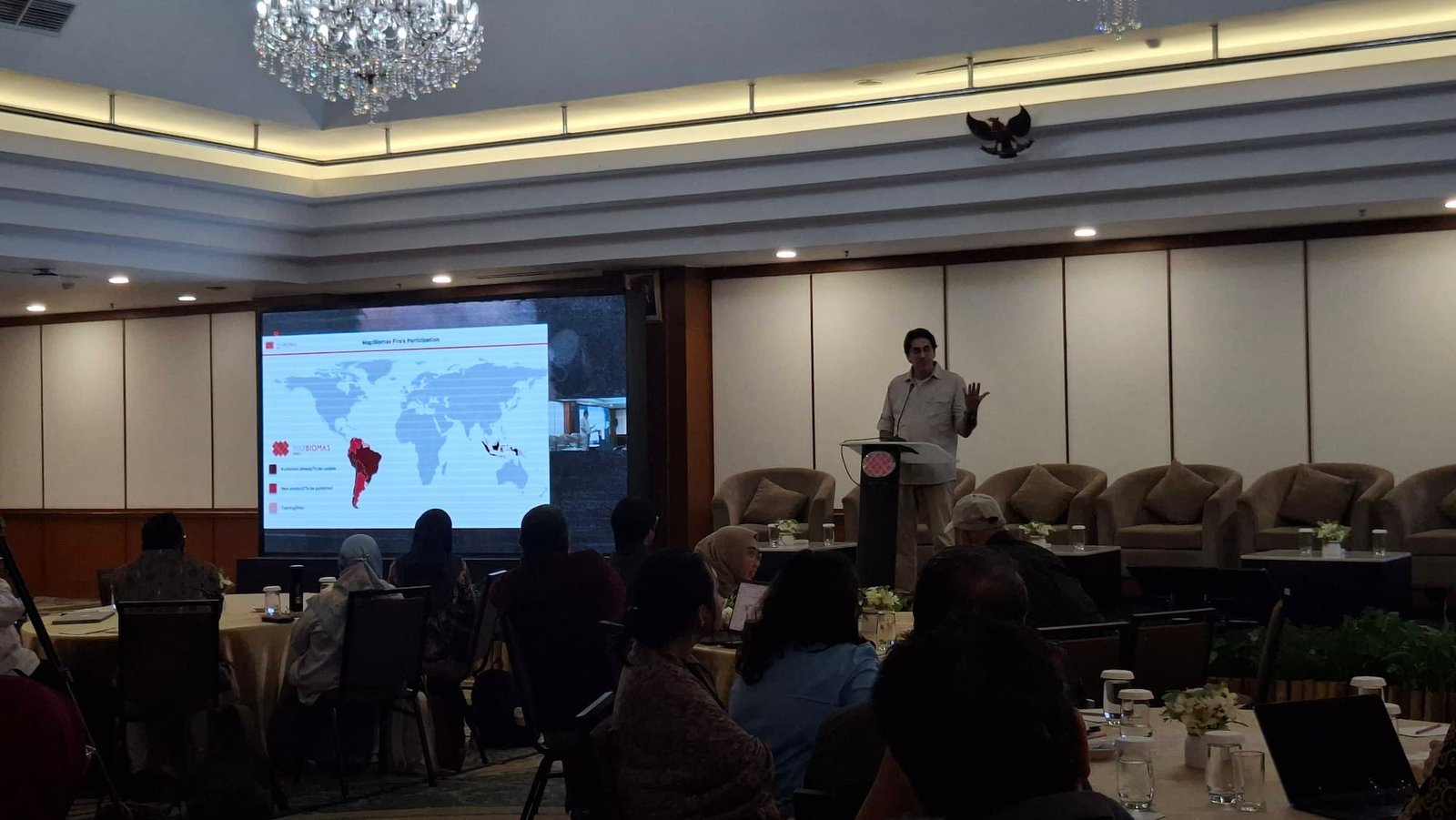
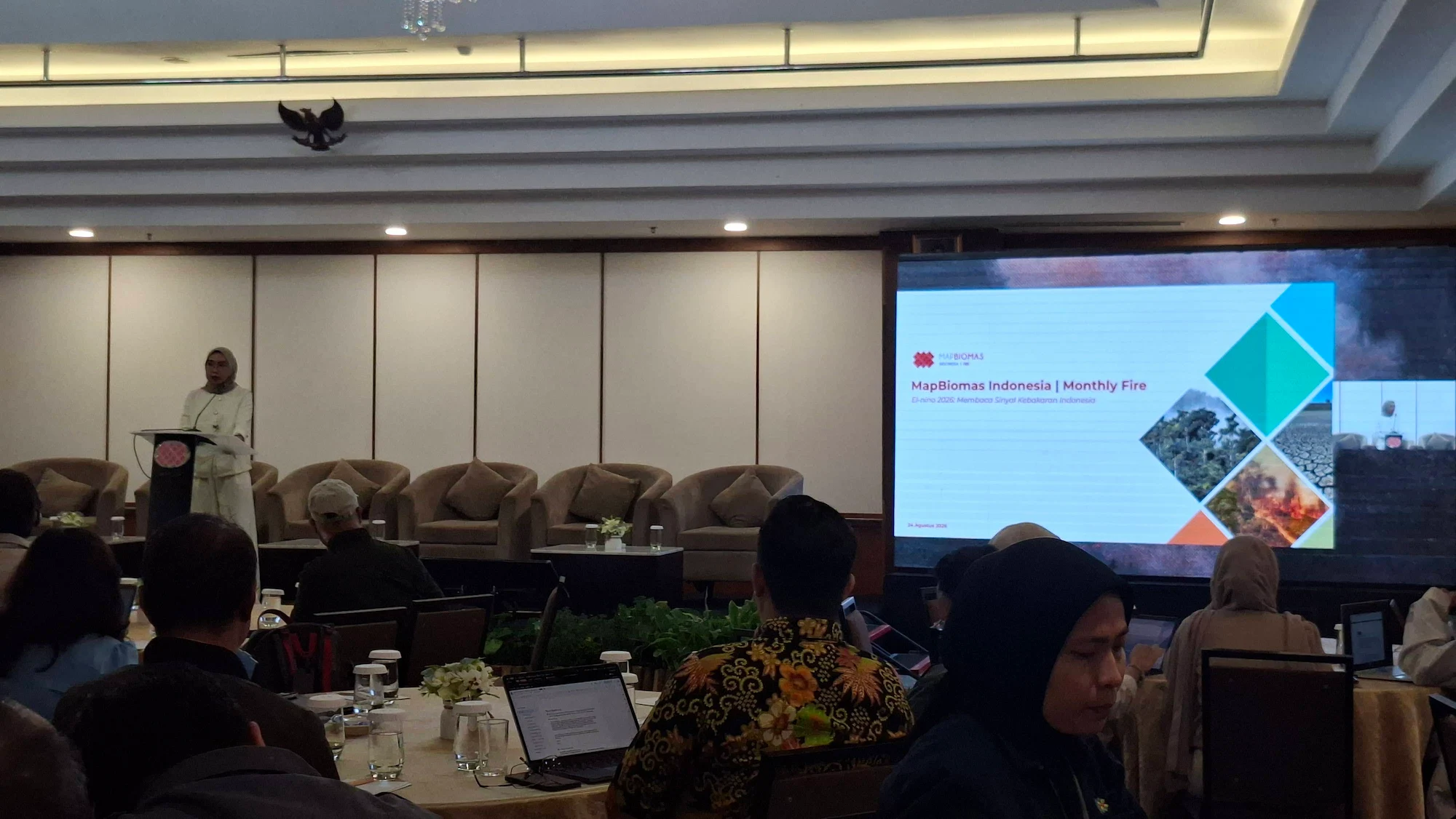
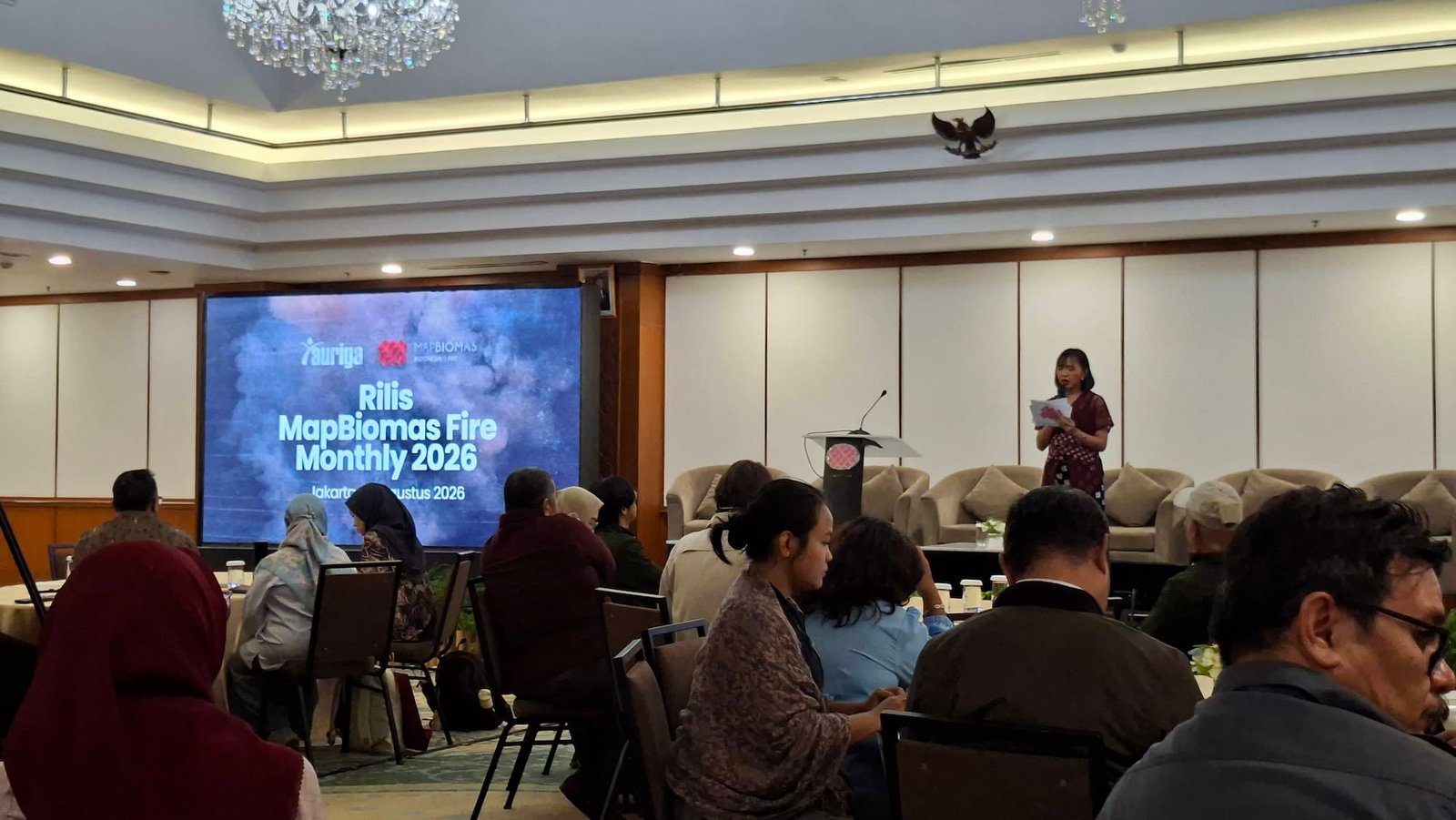
This latest data was released by MapBiomas Fire as part of its newest collection on Monday, August 24, 2026, in Jakarta. The platform is a fire-mapping initiative based on satellite imagery and deep learning classification, led by Auriga Nusantara in collaboration with a network of nine civil society organizations and Woods and Wayside International.
Researchers and data analysts are providing an up-to-date, comprehensive overview of the fires currently sweeping across various regions of Indonesia.
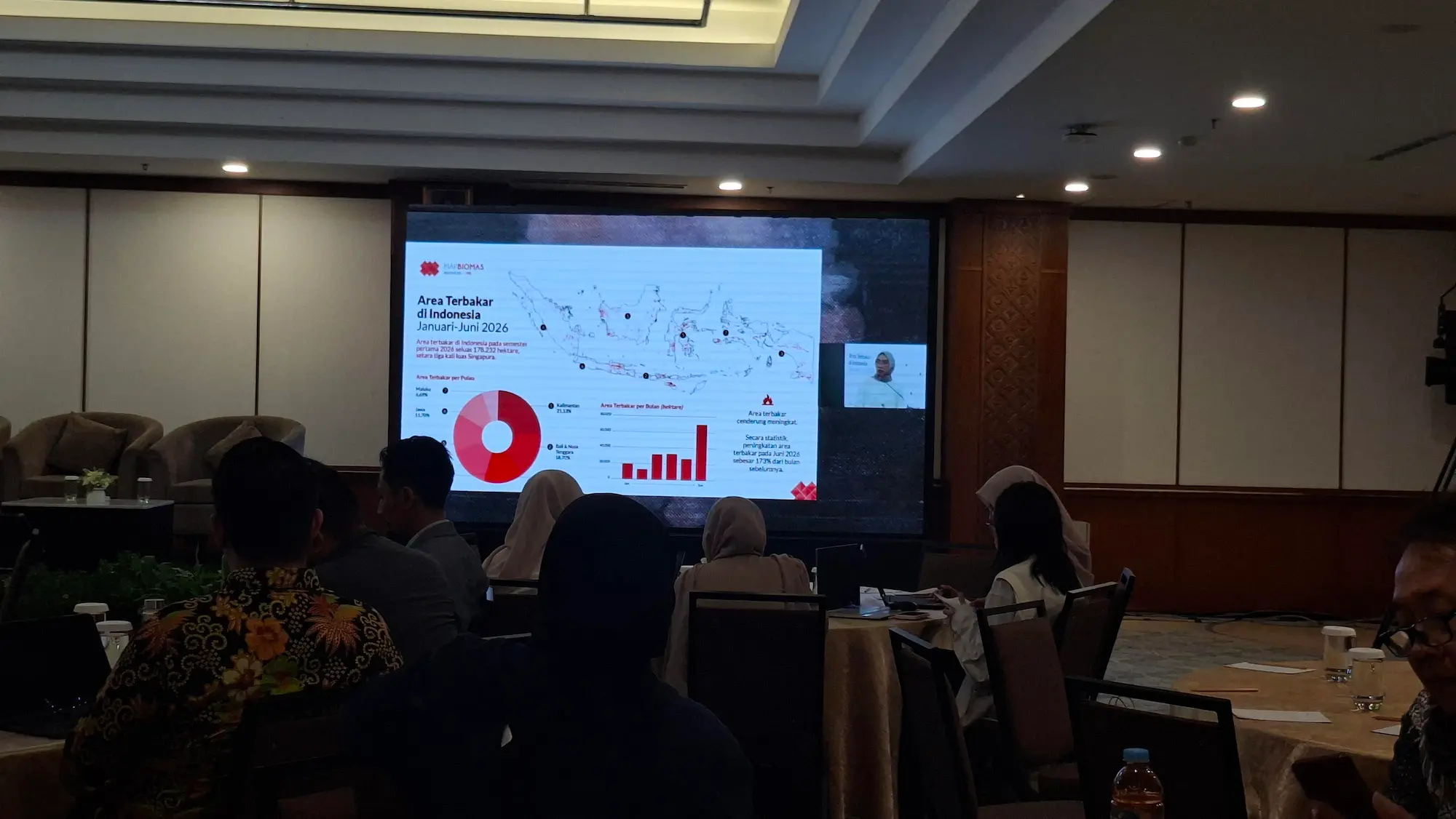
Sesilia Maharani Putri, Technical Coordinator for Mapbiomas Fire Indonesia, stated that the total area burned during the January–June 2026 period reached 178,232 hectares. The island of Kalimantan recorded the largest accumulated burned area at 37,665 hectares, followed by Bali and Nusa Tenggara with 33,338 hectares, and Papua with 25,946 hectares.
Meanwhile, in terms of the extent of burned area by province, East Nusa Tenggara recorded the largest burned area in Indonesia, totaling 25,629 hectares. This was followed by West Kalimantan with 25,629 hectares and South Papua with 15,626 hectares.
Based on land cover, Mapbiomas Fire found that 53 percent of fires occurred in non-forest areas, while 30 percent occurred in agricultural areas—including mangroves, timber plantations, and rice paddies.
“We examined where the fires occurred and their relationship to land cover. It turns out that more than 50 percent of the burned areas involved natural cover, including savannas and shrublands. This is a significant figure, and these areas are the most vulnerable to burning,” said Sesilia at the launch of the latest MapBiomas Fire data collection in Jakarta on Monday, August 24, 2026.
Peatlands and mineral soils are the two land cover types most frequently affected by fire, including in Kalimantan, Bali and Nusa Tenggara, Papua, Sumatra, Sulawesi, Java, and Maluku.
At the launch event, Mapbiomas Fire Indonesia also unveiled its latest product: monthly burned area data and maps for 2026, which can be accessed directly on its platform.
Timer Manurung, Chairperson of Auriga Nusantara, stated that the provision of monthly data is intended to create a greater sense of urgency regarding fires, allowing them to be addressed at an earlier stage rather than waiting for them to grow large first.
“We hope that the closer the data is, the faster the response will be,” said Timer.
Timer stated that the availability of monthly data also provides a more comprehensive and contextual picture of forest and land fires in Indonesia. There are certain regions where a monthly analysis of fire data reveals surprising findings.
In June 2026, for instance, a surge in burned areas occurred in Java, Bali-Nusa Tenggara, and Papua. Meanwhile, 50 percent of the total burned area for the month was concentrated in Kalimantan, Bali-Nusa Tenggara, and Papua.
“This implies that there may well be many other locations requiring our attention from the very start. We therefore conclude that the shorter the data gap, the more detailed our observations can be,” said Timer.
Seven Key Findings from MapBiomas Fire
1. The burned area increased sharply leading up to the middle of the year. A 173 percent surge in burned area was recorded in June 2026 compared to May, indicating that the 2026 forest and land fire season was just entering an escalation phase at the time this data was released.
2. An anomaly occurred in East Nusa Tenggara, which recorded the largest burned area in the country, reaching 26,591 hectares. This figure surpasses that of West Kalimantan (25,629 hectares), a region that has historically dominated media coverage and policy attention. In aggregate, the Bali-Nusa Tenggara islands accounted for 18.70 percent of the national burned area (33,338 hectares), a figure nearly matching that of Kalimantan (21.13 percent).
3. The area of peatland burned accounts for 22 percent of the national total, amounting to 40,016 hectares. Nearly 90 percent is concentrated in Kalimantan and Sumatra.
4. Forest and conservation areas also suffered fires, affecting a total of 82,662 hectares. Forty-six percent of these fires occurred within state forests. A total of 179 conservation areas—comprising 39 national parks and 140 non-national park conservation areas—were affected, with Rawa Aopa Watumohai National Park (2,802 hectares) and Lorentz National Park (1,698 hectares) recording the largest burned areas.
5. A total of 36,389 hectares of burned area were detected within 2,638 business permit areas. The largest burned areas occurred in palm oil permit areas (16,816 hectares), mining areas (9,538 hectares), timber plantations (5,997 hectares), and logging concessions (3,753 hectares).
6. Fourteen percent of the total national burned area (25,053 hectares) occurred on land that had previously undergone deforestation between 2001 and 2025. Nearly 90 percent of these incidents were identified in Kalimantan and Sumatra, led by West Kalimantan (9,964 hectares) and Riau (5,716 hectares). This pattern provides quantitative evidence that newly deforested land is highly susceptible to burning.
7. A total of 13 percent of the burned area occurred at strategic food project sites—specifically, forests converted for food reserves, “food estates,” or community rice field development programs. Merauke Regency accounted for 36 percent of the total burned area in this category, amounting to 8,084 hectares.
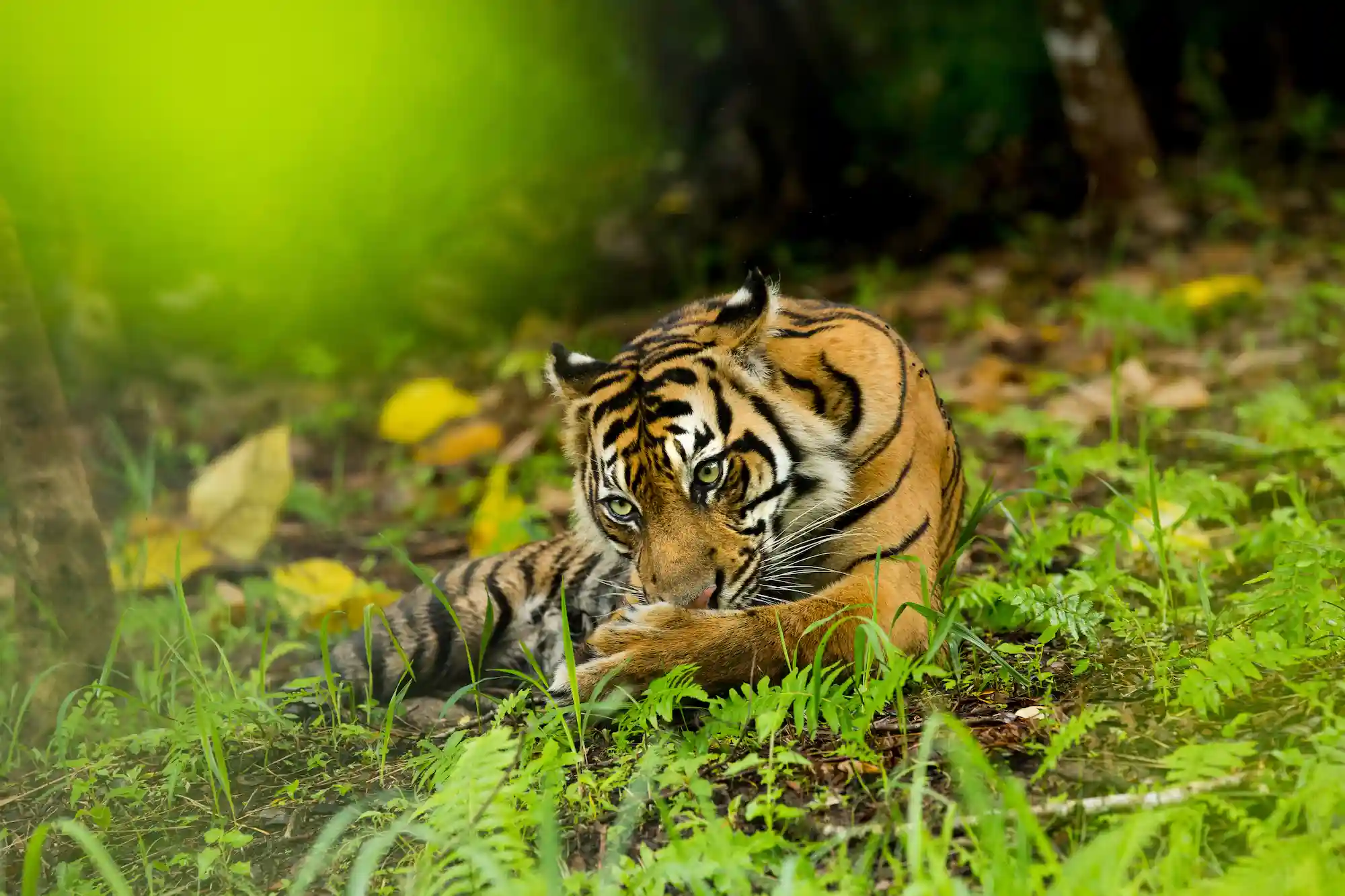
8. The recent forest and land fires have significantly impacted the protection of iconic and protected habitats, with a total burned area of 11,442 hectares. These areas are distributed across various provinces and have been designated as habitats for iconic species such as tigers, rhinoceroses, elephants, and orangutans.
This article was previously published; read the full version at betahita.id.